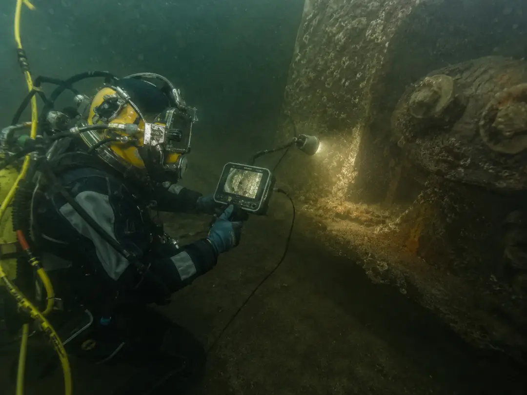
The bed of a water area is not a flat platform but a relief that keeps changing: it silts up, collects sunken objects and is scoured by the current. For as long as vessels move through the area or people swim in it, the state of the bed becomes a matter of safety and of the owner's responsibility. Here is when a seabed survey is mandatory, how it is carried out and what document the client should receive.
Who needs a seabed survey and when
There are only a few reasons for surveying the bed, but all of them are concrete:
- preparing a beach for the bathing season — surveying and clearing the bed within the swimming area;
- monitoring the water area at a quay: siltation, foreign objects, depths at the wall;
- searching for sunken objects — from cargo and equipment to sunken craft;
- acceptance of a water area after construction or dredging;
- surveying a route before laying a pipeline or cable or installing a water intake head;
- establishing the cause of damage to a vessel after touching bottom.
Beaches: the survey is required by law
The most regulated case is beaches. The Russian rules on protecting life on the water state plainly that, before the bathing season starts, the bed of a beach water area within the swimming limits must be surveyed by divers and cleared. Operating a beach without a permit from the State Small Vessels Inspectorate (GIMS) is prohibited, and the diving survey report is part of the document set checked when the beach is accepted.
The requirements for the bed itself are specific too: a gradual slope with no steps down to a depth of 2 metres, cleared of water plants, snags, glass, stones and other foreign objects. It is at those depths, within the swimming limits, that the divers work.
The key point for the client is timing. The survey has to be done in advance, before the season opens, not at the moment the beach is due to receive people. It is worth planning the work from the winter: by May there are noticeably fewer diving contractors free.
How a seabed survey is carried out
- 1
Setting the boundaries
The area to be surveyed is divided into lanes referenced to shore marks or coordinates. For a beach that is the swimming zone; for a quay water area it is a strip along the wall to a set distance.
- 2
Searching to a pattern
The diver covers the bed in successive sweeps or by circular search on a distance line — that way the area is covered completely, with no gaps. The search pattern is chosen according to visibility, depth and the nature of the bed.
- 3
Recording the finds
Every object found and every feature of the relief is recorded on video and photo, with its position fixed by GLONASS/GPS and sonar. Where needed, the general view of the water area is filmed with the RB-550 ROV.
- 4
- 5
Check sweep and report
After clearing, the area is swept again to confirm the result. The diving survey report is then drawn up, with the recorded material attached.
The survey report: what it must contain
The report is what the client is really paying for: it is what gets presented to the regulator and the acceptance committee. A formal note saying “the bed has been surveyed, no remarks” will not pass an inspection. The report must set out:
- the boundaries and area surveyed, referenced to the locality;
- the date and conditions of the work and the make-up of the diving spread;
- the search method used and the area actually covered;
- a list of the objects and relief features found, with their locations;
- what was lifted and what was done with the rest;
- a conclusion on the state of the bed and its fitness for its intended use;
- appendices — photo and video material and a drawing of the area.
One piece of advice: check in advance with the receiving party what form of report they expect. The requirements of GIMS, of an acceptance committee and of a company's own department can differ, and agreeing the format before the work starts is easier than reworking the document afterwards.
What actually turns up on the bottom
The typical haul from a water area survey is lengths of wire rope and netting, tyres, scrap metal, construction debris, sunken timber and parts of old structures. At quays there are regularly objects dropped during loading and remnants of earlier repairs.
A separate category is anything that presents a direct hazard: glass and sharp metal on a beach, lengths of rope in the propeller area, large objects in the fairway. That is exactly what the survey is for: a fouled propeller or a cut foot costs incomparably more than a planned inspection of the bed.
Seabed surveys in the Murmansk Region
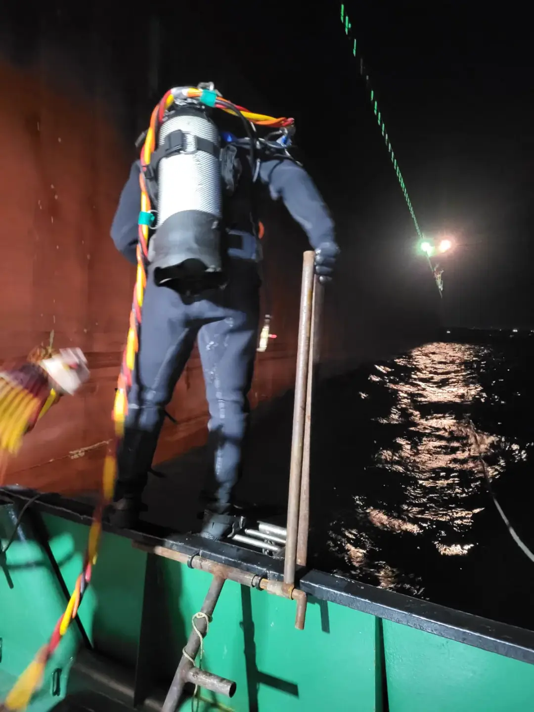
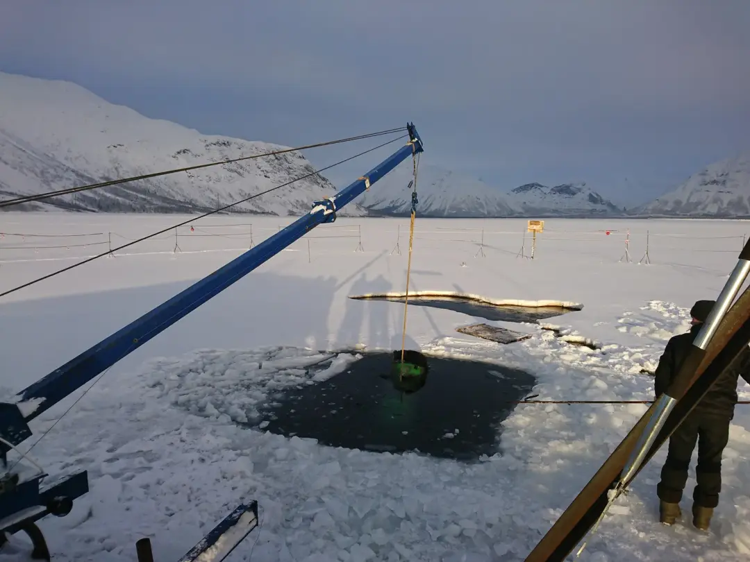
In the Arctic, seabed surveys have their own character. On the sea areas of Kola Bay work goes on all year round, but is planned around the tidal cycle and the weather. On lakes and reservoirs the season divides sharply: in summer from a craft, in winter through an opening in the ice, as we did when installing the water intake on Lake Bolshoy Vudyavr.
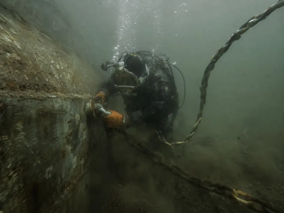
Visibility in northern waters is often limited, so the search is run in close sweeps with every find positioned — an area like that cannot be surveyed by eye. PKF Bolid LLC has worked in Murmansk since 1992, at depths to 60 metres, in Kola Bay, the Barents and White Seas, with mobilisation across the region.
Frequently asked questions
- To what depth is a beach bed surveyed?
- Within the swimming limits, to a depth of 2 metres — the zone where people are. The bed there must have a gradual slope with no steps and be cleared of foreign objects.
- When should a beach survey be booked?
- In advance, before the bathing season opens: the report is needed by the time the beach is accepted. It is best to plan the work in winter or early spring — closer to the season fewer diving contractors are free.
- What happens if a large object is found on the bottom?
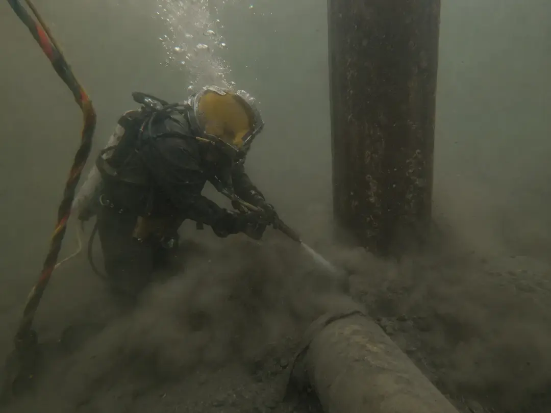
- It depends on the object. Small items are lifted by the diver, larger ones with lifting equipment, and silted objects are first freed by jetting. A sunken craft is raised as a separate salvage project.
- How long does a survey take?
- A small beach water area is covered by the spread in one or two days. The time depends on the area, visibility, the nature of the bed and how much is found — we can be more precise once the boundaries are settled.
- Do you issue a report for GIMS?
- Yes. On completion we issue a diving survey report with photo and video material and a drawing of the area attached. We agree the form of the document in advance, to suit the receiving party's requirements.